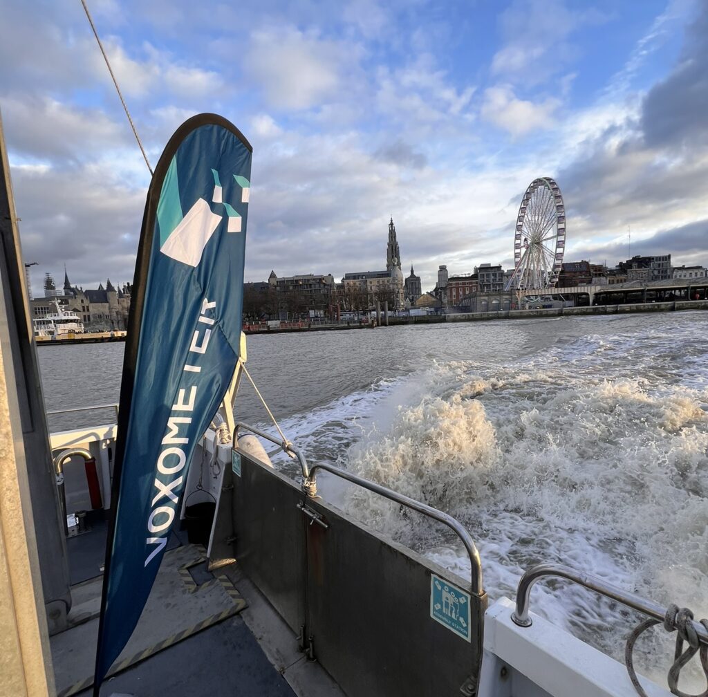
Navigation Solutions in collaboration with R3Vox and BeamworX, recently conducted a demonstration of the Voxometer XL to map the complex seabed near Antwerp. This area, characterized by underwater limestone formations and varied sediment, presents a challenge for bathymetric surveys.

The real-time output from the Voxometer XL provides a very clear and detailed depiction of the seabed and its natural limestone formations. Between these underwater features, in the center of the image, an unexpected sighting of a sunken sailboat with a broken mast can be identified as well, highlighting the system’s ability to capture seabed topography and objects resting on it.
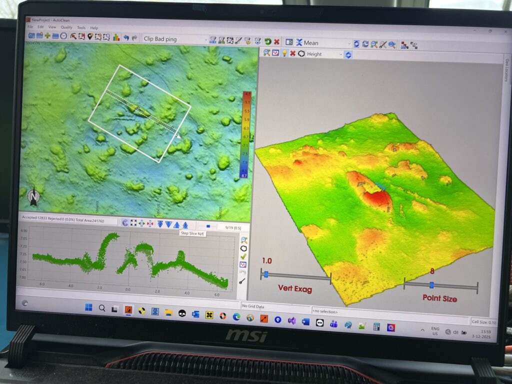
The demonstration confirmed that challenging seabeds, such as those off the coast of Antwerp, can be effectively monitored using R3Vox’s Voxometer® technology. The system’s high-resolution capabilities make it well-suited for mapping complex underwater terrain, providing reliable data even in areas with unexpected seabed features.