Rajant Peregrine and Hawk nodes are in stock now! Find Out More

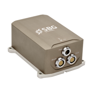
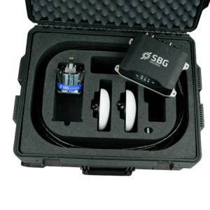
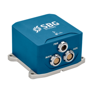
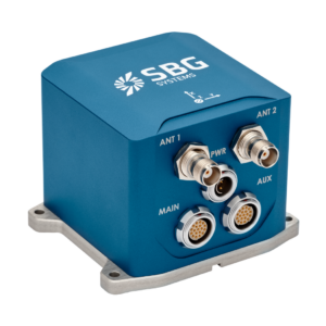
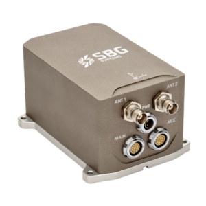
Qinertia | GNSS+INS Post-Processing Software
Qinertia PPK software sets a new standard in high-precision positioning, providing reliable georeferencing through advanced post-processing corrections. In an environment where accuracy is critical, it has become an essential tool for professionals and industries that require complete confidence in their location data.
Qinertia | GNSS+INS Post-Processing Software
Qinertia supports full multi-constellation, multi-frequency GNSS processing, ensuring optimal accuracy, robustness, and performance in all environments.
Supported Constellations and Frequencies:
- GPS : L1, L2, L5
- Galileo : E1, E5a, E5b, E5(a+b), E6
- BeiDou : B1I, B2I, B3I
- Glonass : G1, G2
- QZSS : L1, L2, L5
Multi-frequency support improves ambiguity resolution, convergence time, and positioning accuracy. It also improves resilience in challenging environments, such as urban canyons, dense forests, or areas with high ionospheric activity.
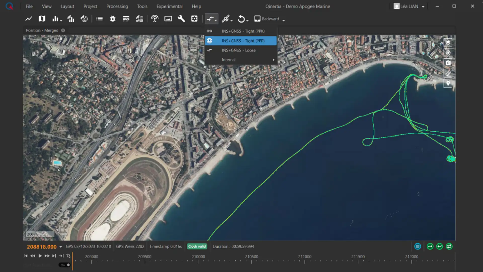
Processing modes
Qinertia offers a comprehensive range of processing modes to adapt to any operational constraint:
- PPK with single base
- PPK with single base (Ionoshield mode)
- PPK with VBS (Virtuel base station)
- Near real time PPK with RTCM corrections
- Tightly coupled PPP (Precise Point Positioning) anywhere in the world.